Sunday, May 21
The dawn was grey on 21 May, following rain all through the night at the camp of the Dakota Column¹. After a delay as a bridge was built over Hailstone Creek, the column moved out, and just after noon the clouds broke, the sun warming the weary soldiers just as the marshy terrain began to level out and improve. Making just short of 14 miles by the end of the day, passing the landmark known as Twin Buttes to the south (known to the Arikaras as the Young Maiden’s Breasts) shortly before setting up camp along Haymarsh Creek².
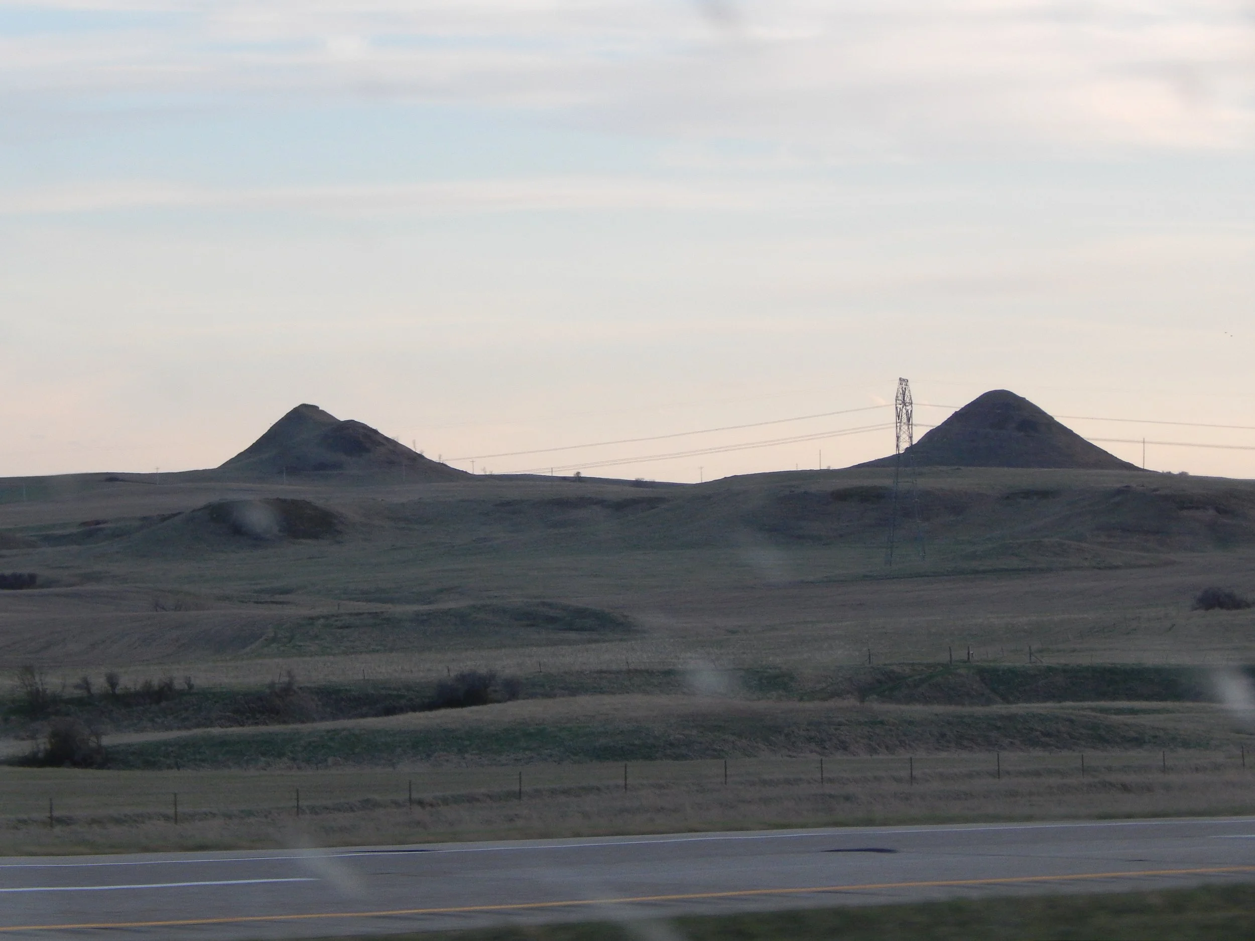
Twin Buttes as seen from Interstate 94, looking south through a bug-splattered windshield
In Montana, the scouting mission of Capt. Thompson returned to Gibbon’s main force with their report on the previous day’s contact. They also brought the news that as they had approached the main camp from the rear they had discovered signs that the force was being tailed by enemy scouts. This information in hand, and deciding that the location was a suitable camp location, Gibbon ordered that the main camp began to set up at the new position along the north bank of the Yellowstone just west of the Rosebud.
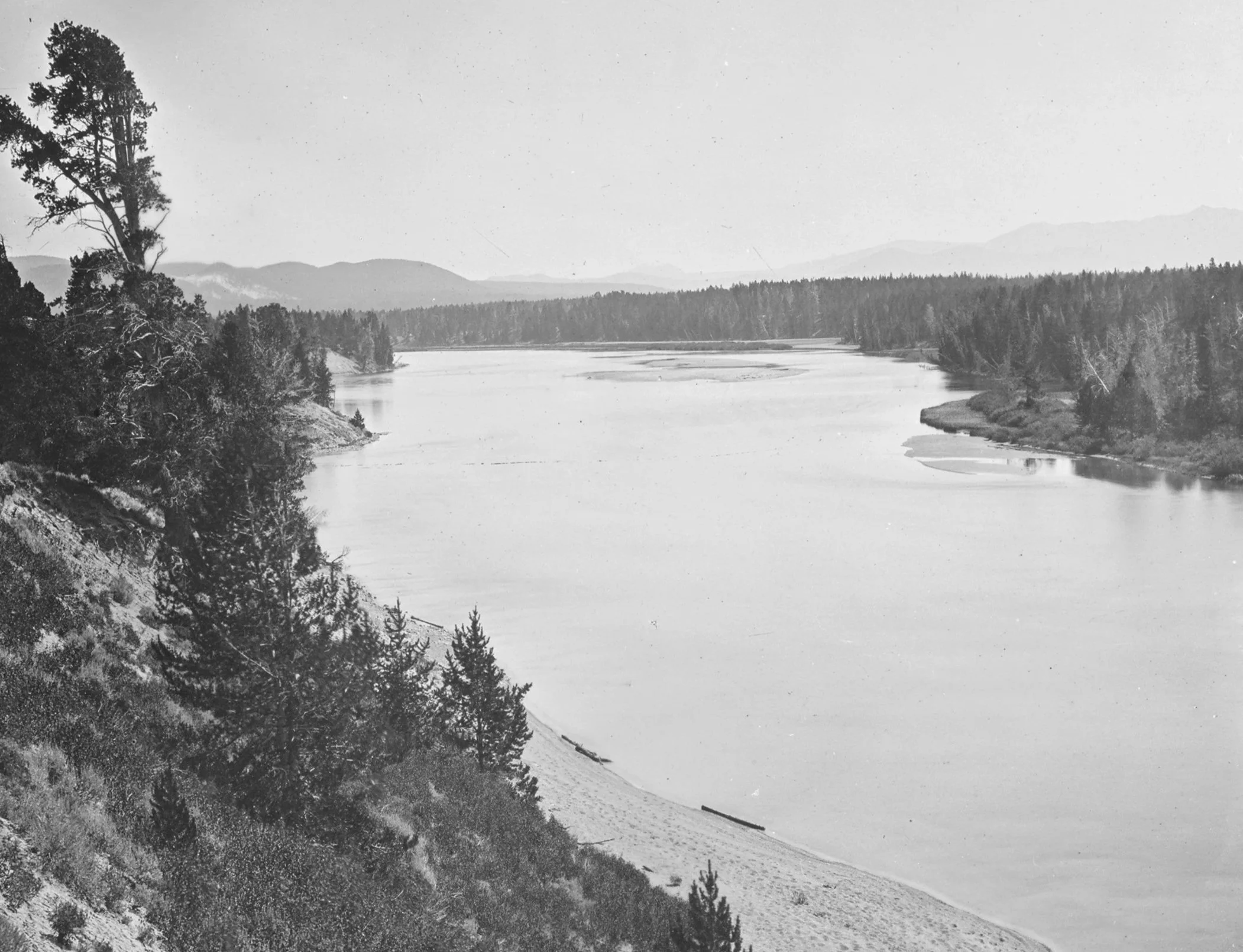
The Yellowstone River
While the movement of the bulk of the force took place, Lt. Bradley, the commander of Gibbon’s scouts, located some Sioux burial scaffolds along the Yellowstone River, judging the dead warrior to have rested their for approximately two years. He also stopped to explore the ruins of Fort Van Buren, an old fur trade post along the river, before returning to the main camp.
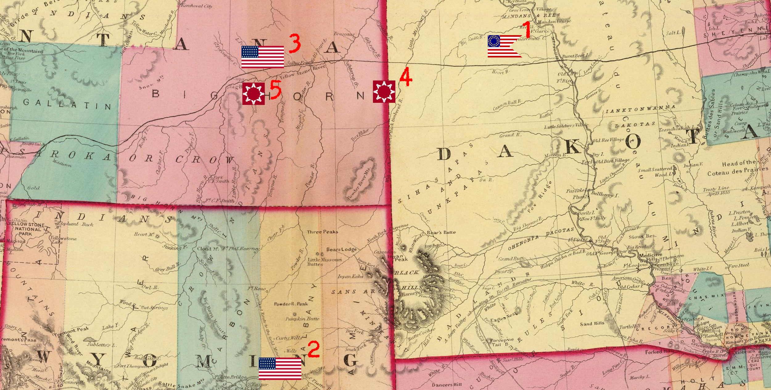
1. Dakota Column - CUSTER/TERRY - Haymarsh Creek
2. Wyoming Column - CROOK - Fort Fetterman
3. Montana Column - GIBBON - Yellowstone River/Rosebud Creek
4. Sioux Encampment - US Intelligence position - Little Missouri River
5. Sioux Encampment - Actual position - Rosebud Creek/Yellowstone
-
General Terry’s letter of 23 May, 1876
Weinell, p.23